Hiking the Beacon Rock Trail: Everything You Need to Know
If you’re looking for a quick and easy hike with some great views up and down the Columbia River Gorge, look no further than the Beacon Rock Trail. It’s not a flat stroll by any stretch of the imagination, but it is one of the easier hikes in the Gorge with stellar views, especially on the Washington side.
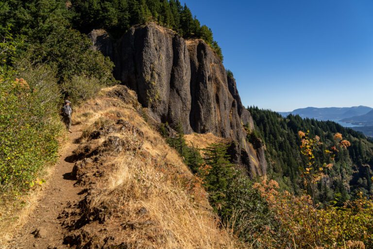
Similar views can be had from the Cape Horn Trail or the Hamilton Mountain Trail, but you’re going to have to spend a few hours hiking to get them. Here, it’s a short climb up 52 switchbacks (and the best views are actually on the way up, not necessarily from the very top).
Basically, if you’re looking for a relatively quick and easy hike on the Washington side and you’re willing to brave the crowds, this is a good option. If you’re in search of the absolute best views in the Gorge or some solitude in the wilderness, you can definitely do better.
However, if you’re looking for one of the best bang-for-your-buck hikes in the Columbia River Gorge, we like Beacon Rock.
Disclaimer: Some of the links in this post, like hotel and vacation rental links, are affiliate links, meaning at no additional cost to you we make a little bit of money if you click through and book. That being said, we would absolutely never recommend something to you that we don’t stand behind 100%.
Beacon Rock: Trail Details
- Length: 1.5 miles
- Elevation Gain: 600 feet
- Season: Year round
- Trail Type: Out and Back
- Difficulty: Easy / Moderate
- Trailhead Location
- Dog Friendly: No
- Pass Required: Discover Pass (There are machines at the trailhead where you can buy a day pass for $10, or an annual pass for $30).
Is the Hike Up to the Top of Beacon Rock Easy?
We hiked Beacon Rock early on a weekend morning, and we saw multiple families with young children attempting the climb up the 52 switchbacks up to the top.
With varying levels of success and tantrums along the way.
This trail is not easy – it climbs 600 feet over the course of ¾ of a mile, which is basically straight up.
It’s unrelenting, it’s exposed (especially mid-morning to mid-afternoon, which is when the vast majority of hikers show up), and it’s not a trail that we would take young kids on, especially considering there’s basically nowhere to pull over and stop on the way up – you’ll always be in the middle of the trail with hikers passing you on their way up and down.
We’d consider this somewhere between an easy and moderate hike for most people, which means it’s more on the moderate end of the spectrum for young kids. Kids over, say, 7, will likely be totally fine as long as they’re up for some climbing.
Getting to the Trailhead in Beacon Rock State Park
The trailhead for Beacon Rock is right along Highway 14 on the Washington side of the Columbia River Gorge. It’s 9 miles east of Washougal / the Cape Horn trailhead, and 7 miles west of Bridge of the Gods.
The parking at the trailhead has two sections – the main parking area, where you’ll find a bathroom and a machine to purchase a Discover Pass, which you’ll need to park here, and an overflow lot on the western side of the start of the trail with more parking.
Keep in mind that if you need to purchase a Discover Pass, you’ll have to head to the main trailhead (the one that’s further east, where the bathroom is), which is where there’s a machine for you to purchase one.
The Hike up Beacon Rock: A Quick Trail Report + Pictures
To be completely honest, there’s not a whole lot to say about this trail. We tackled it on a sunny summer morning over a holiday weekend. We started at 7:45am, fully expecting the gate to be closed until 8:00am (which is what everything we could find, including the park website, says).
To our surprise, it was open at around 7:45am, and we started our hike up.

The engineering here is pretty marvelous. The trail was built back in the 1910’s, which makes it one of the oldest trails in the area, but it was named by Lewis and Clark in the early 1800’s (though I’m more than certain that there is a name that predates Lewis and Clark from the indigenous groups that call this area home).
In 1915, Henry J. Biddle purchased the rock for $1 (so many questions, like who did he purchase it from??) and began construction on the trail up to the top with those 52 brutal switchbacks.
Digging deeper, it seems like Biddle, whose father was actually Lewis and Clark’s journal editor, purchased it to save the area from development, later donating it to the state for use as a state park (along with nearby Hamilton Mountain).
I still have questions about who he purchased it from, but that seems like a somewhat worthy cause, at least. Biddle was an engineer by training, hence the ability to build such an impressive set of trails to get to the top.


Don’t worry though – the structure has been renovated since 1915.
Anyway, the point I was getting to is that there are 50+ switchbacks between you and the top of Beacon Rock. Over the course of those 52 (ish – I counted 53) switchbacks, you’ll do two things – wonder why on earth you decided to tackle this particular hike, and be treated to some of the best views on the hike.


Like I said above, there’s really not much to say. It’s switchback after switchback, climbing steadily up first the southwestern face of the rock, then the southern face.
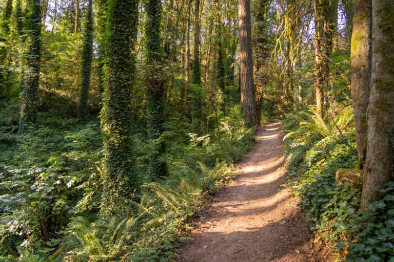
Eventually, you’ll know you’re getting close when the trail leaves the conspicuously man-made switchbacks and enters the forest on a set of less conspicuously man-made switchbacks.

It’s a short way from where the trail enters the forest up to the final viewpoint, which isn’t as good as some of the views on the way up. There are some steep stone steps to get up to the top.


From the top, it’s a steep descent right back down the way you came.